HIking Near and around Cowan TN
|
Mountain Goat Trail From 1856 to 1985, the Mountain Goat Railroad carried coal and passengers between Palmer and Cowan in Grundy and Franklin Counties of the Cumberland Plateau. It was named the Mountain Goat because the climb onto the Plateau was one of the steepest railroad ascents in the world.
Now, the Mountain Goat Trail Alliance is seeking to reclaim the path of the railroad. Working with local governments and other interested groups, the Alliance’s mission is to turn the old railroad bed into a multiuse recreational path. When finished, the 35-plus-mile trail will connect seven towns in two counties, offering health, recreational, and economic benefits to the area. The best place to park in Sewanee is in the gravel lot on Highway 41A at Hawkins Lane. Here’s a Google map that might be helpful. (The Mountain Goat Trail in Sewanee is part of the 20+-mile Perimeter Trail around the University Domain, which is why it’s labeled that way on this map.) For more information on the MGT Click Here. |
The Perimeter Trail
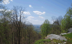
The Perimeter Trail offers gorgeous views and excellent terrain for hiking, mountain biking, and running along the bluff of the Cumberland Plateau. The trail can be accessed within a five-minute walk from central campus. It features beautiful overlooks, interesting geological features, two lakes, and plenty of upland deciduous forest. Caving and climbing sites are easily accessed from the trail. for more information you can Click Here and download printable maps.
Machine Falls
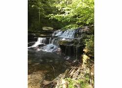
Round-Trip Mileage: Machine Falls, Busby Falls, and Adams Falls trails loop - 3.05 miles. Laurel Bluff adds 1.5 miles. This trail is considered to be a moderate hike, with multiple trails to navigate. For more information Click Here.

